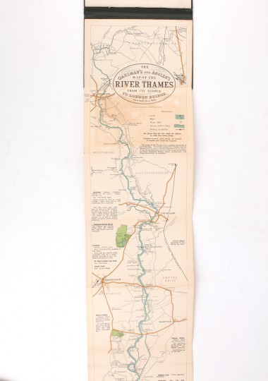
From the Source to London Bridge. Scale One Inch to a Mile. With Notes on Punting.
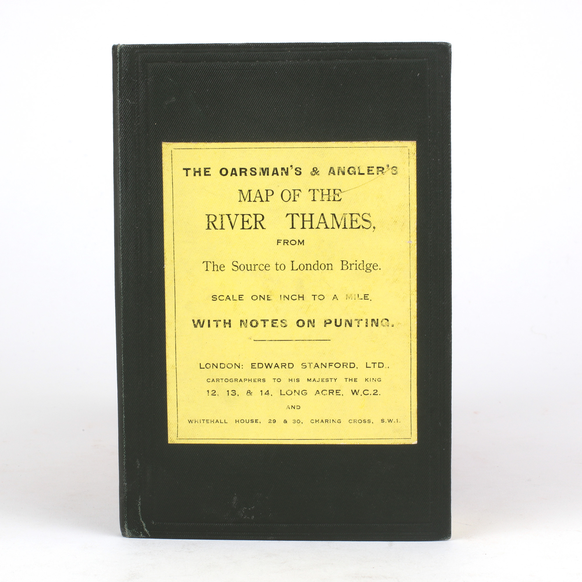
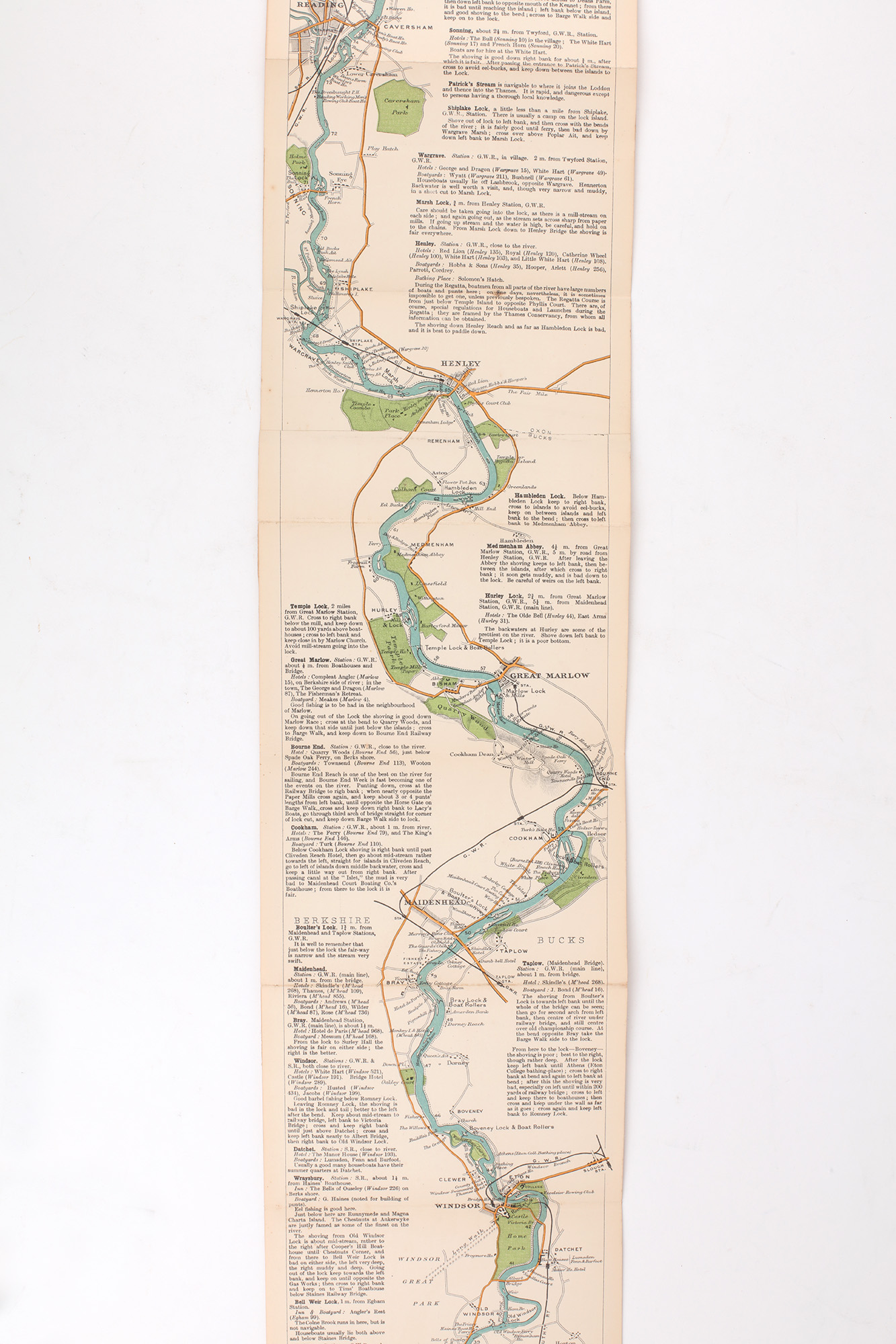
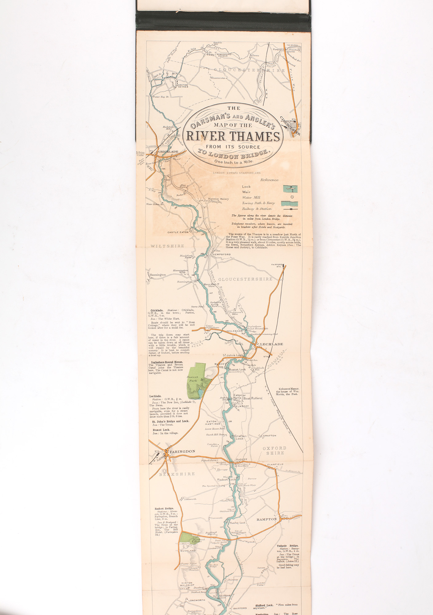
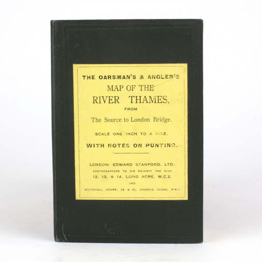
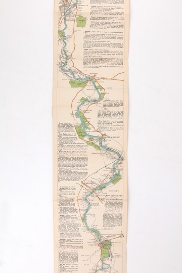
The Oarsman's and Angler's Map of the River Thames From the Source to London Bridge. Scale One Inch to a Mile. With Notes on Punting.
Edward Stanford, Ltd., 1927.
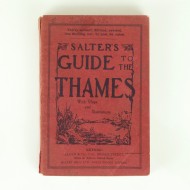
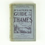
1927 edition. 12mo. Publisher's green cloth case with yellow label to the upper cover. Mounted booklet to front pastedown, accompanied by a linen folding map in full colour, with twenty-six folds. Advertisement to map end. A very good copy indeed. The map itself is bright, with slight offsetting to one panel, the booklet very fresh.
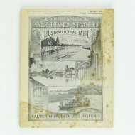
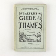
Panorama map with green cloth case and printed label on upper cover. Twenty two pages of printed text on the rules and bye-laws of the river. Panorama map shows the spots along the river for the best fishing and gives information on transport and accommodation. In very nice condition indeed, with only a small amount of foxing.
Stock ID: 42381
Sold
We have sold this item, but similar items
may become available in the future