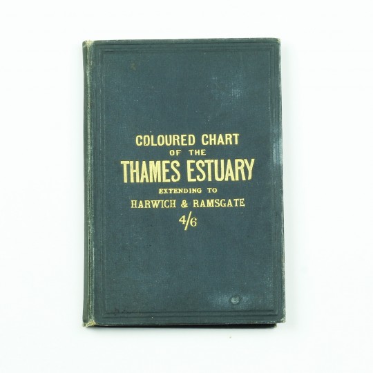
Extending to Harwich and Ramsgate
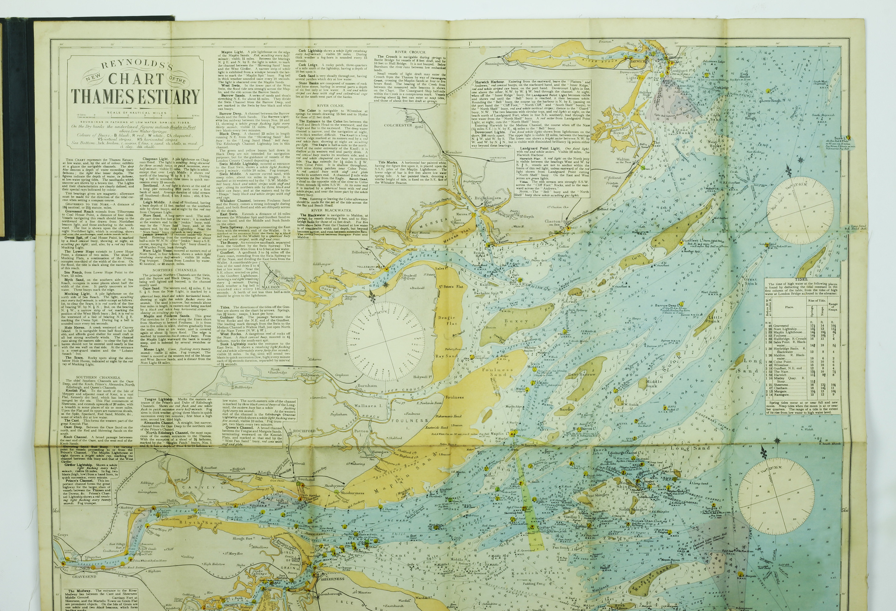
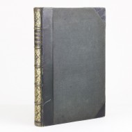
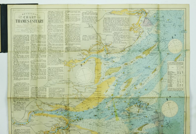
[Map] Coloured Chart of the Thames Estuary Extending to Harwich and Ramsgate
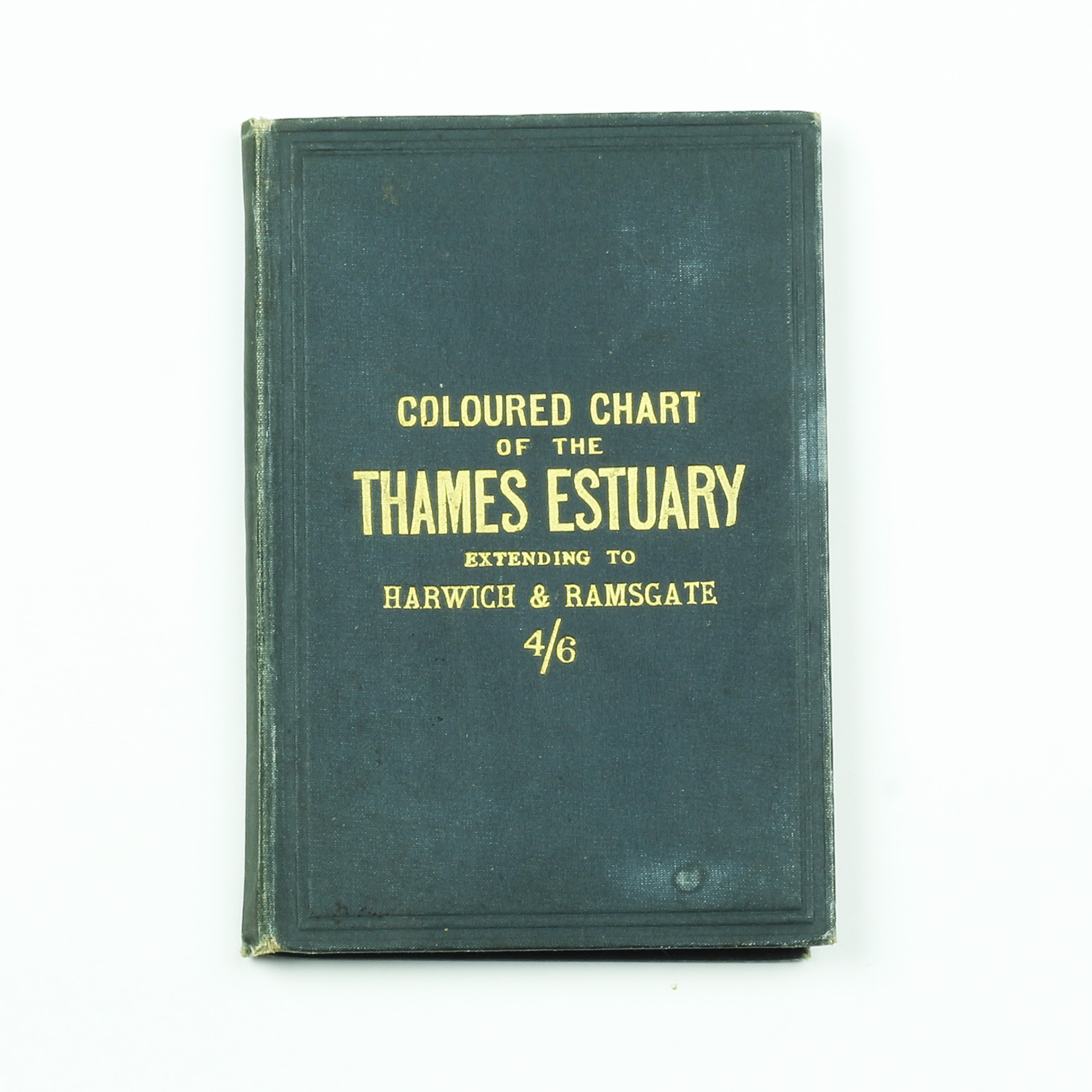
Stanford, 1910.
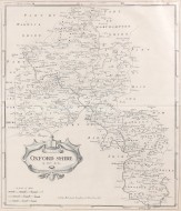
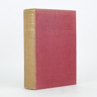
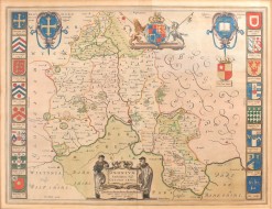
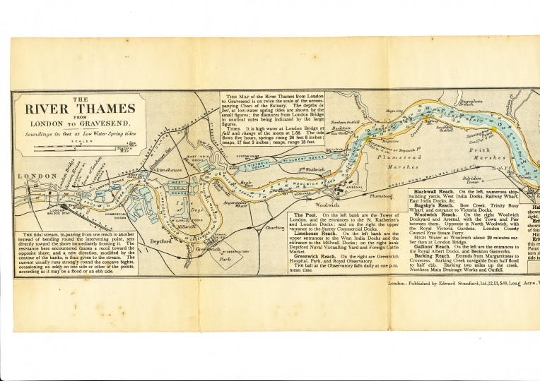
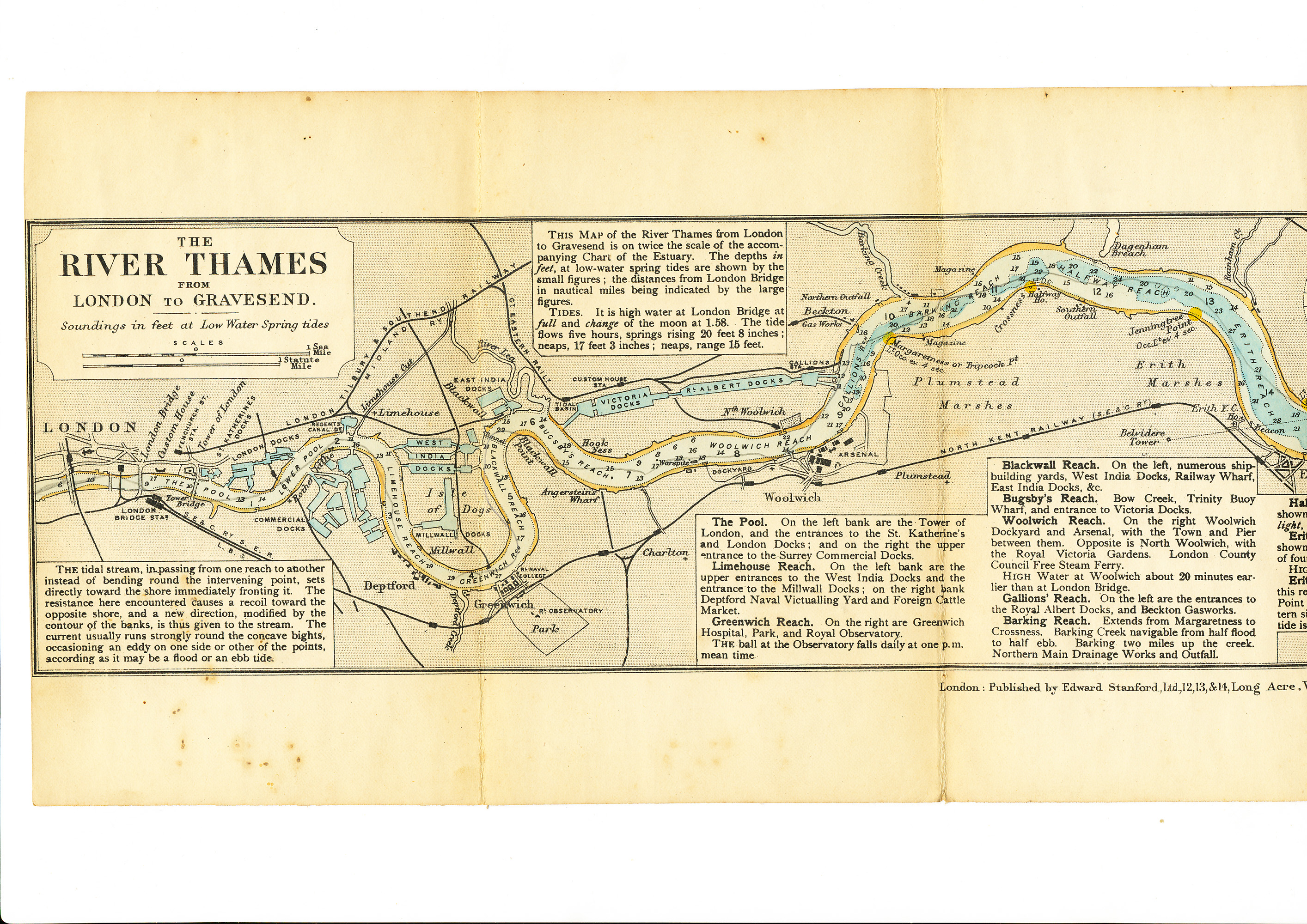
An early edition. Green cloth lettered in gilt, housing two folding linen backed maps. The smaller one running the along the River Thames from Gravesend to London. The larger chart showing the Thames Esturary. In very good condition, minimal wear.
Stock ID: 36009
Sold
We have sold this item, but similar items
may become available in the future