Provincia Oxoniensis
Jansson, Jan
£1,500.00
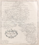
Oxfordshire
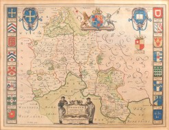
MORDEN, Robert
£375.00

Oxonium Comitatus Vulgo Oxford Shire
Jansson, Jan
£1,250.00

Blenheim Woodstock, Etc
TAUNT, Henry W.
£300.00
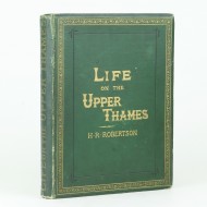
Life on the Upper Thames
ROBERTSON, H.R.
£175.00
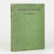
'No Boats on the River'
HERBERT, A.P.
£25.00
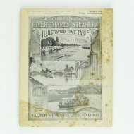
Oxford and Kingston River Thames Steamers
[SALTER BROS. LTD]
£35.00
The River Thames From Oxford to the Sea
ADAMS, W. H Davenport
£175.00
A Description of the River Thames, &c.
BINNELL, Robert
£500.00
Views on the Thames
COOKE, W.B. & George
£1,200.00
The Royal River
et al / SENIOR, William
£300.00
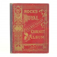
Rock's Royal Thames Valley Cabinet Album
ANON
£45.00
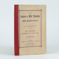
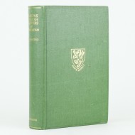
The Lower and Mid Thames
AMPHLETT, F. H.
£225.00
The Manor and Parish Records of Medmenham Buckinghamshire
PLAISTED, Arthur H.
£125.00
The History of Thame and Its Hamlets;
LUPTON, Harry
£250.00
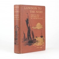
London to the Nore
WYLLIE, W. L. and Mrs
£150.00
Oxonium
BLAEU, Joan
£950.00

Picturesque Views on the River Thames
IRELAND, Samuel
£450.00
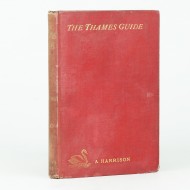
The Thames Guide Book
HARRISON, A.H.
£75.00
Parsons and Parish Registers of Medmenham, Bucks
PLAISTED, A.H.
£95.00