
TOMBLESON IN COLOUR
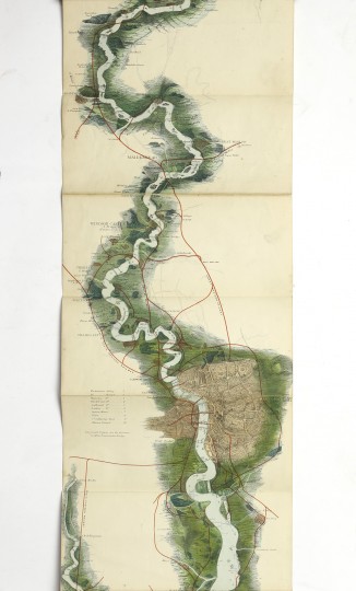
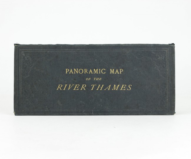
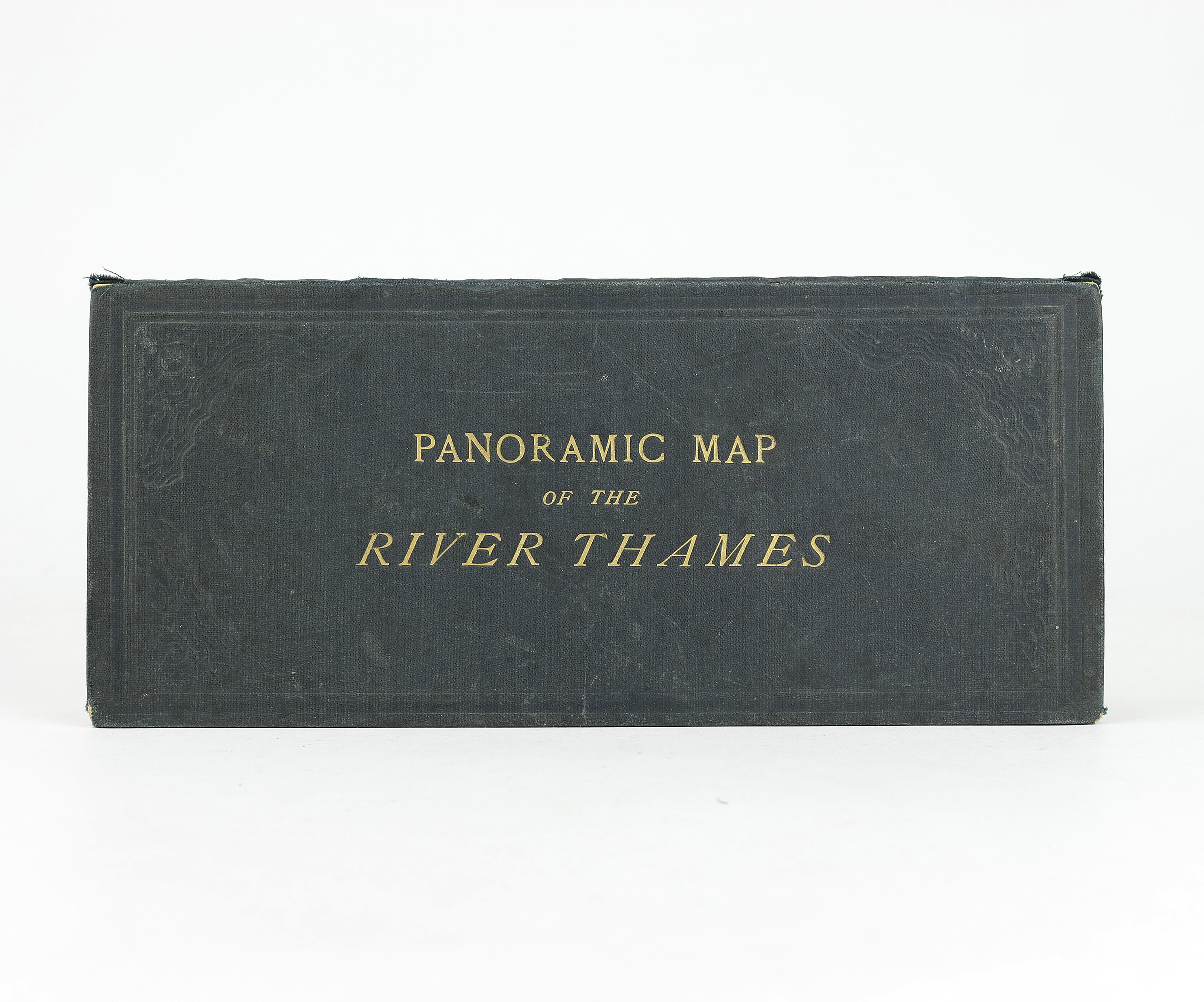
Tombleson's Panoramic Map of the Thames and Medway
J.Reynolds, 1876.
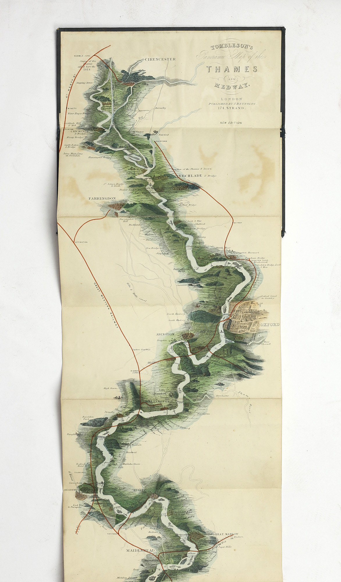
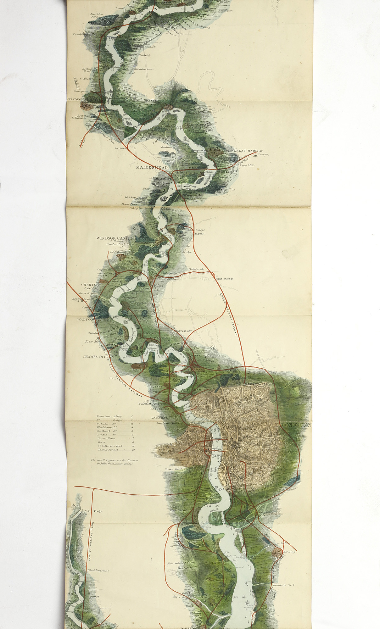
New edition. Original green cloth folder, lettered in gilt with fold out map on linen backed paper, 10''x4'3''. Chromolithographed, steel engraved map of the Thames from its source in Gloucestershire to the sea with detail of the towns and countryside through which it passes. A very good copy indeed.
This map was originally issued, uncoloured, in 1834 as accompaniment to 'Tombleson's Thames'. Due to its popularity, a coloured version of the map was issued separately first in 1850, then this new edition in 1876 with more details of weirs and railway lines, and many times subsequently, although the later reprints lack the clarity of printing found in these early editions.
Cohen p 185
Stock ID: 39416
Sold
We have sold this item, but similar items
may become available in the future