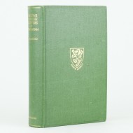
The River Thames From Oxford to the Sea
ADAMS, W. H Davenport
£175.00

Provincia Oxoniensis
Jansson, Jan
£1,500.00
Life on the Upper Thames
ROBERTSON, H.R.
£175.00
The Thames Guide Book
HARRISON, A.H.
£75.00
Views on the Thames
COOKE, W.B. & George
£1,200.00
The Royal River
et al / SENIOR, William
£300.00
The History of Hertfordshire
SALMON, Nathaniel
£350.00

Blenheim Woodstock, Etc
TAUNT, Henry W.
£300.00
The Thames and Its Tributaries
MACKAY, Charles
£125.00
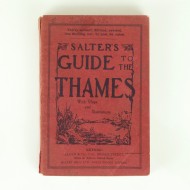
Salter's Guide to the Thames 1935
SALTER, J.A. / SALTER, J.H.
£75.00
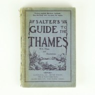
Salter's Guide to the Thames 1936
SALTER, J.H. / SALTER, J.A.
£60.00
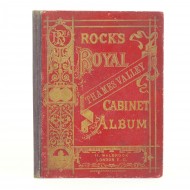
Rock's Royal Thames Valley Cabinet Album
ANON
£45.00
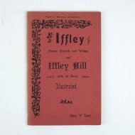
Iffley Manor, Church, and Village
TAUNT, Henry W.
£125.00
First Footsteps in East Africa
BURTON, Richard
£3,000.00
Jefferies Land
JEFFERIES, Richard
£125.00
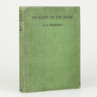
'No Boats on the River'
HERBERT, A.P.
£25.00
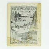
Oxford and Kingston River Thames Steamers
[SALTER BROS. LTD]
£35.00
Parsons and Parish Registers of Medmenham, Bucks
PLAISTED, A.H.
£95.00
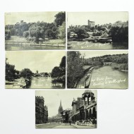
A Set of Five Books of Photographs From Kingston to Oxford
BROOKS, Joyce
£25.00
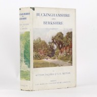
Buckinghamshire and Berkshire
PALMER, Sutton / MITTON, G.E.
£295.00