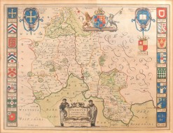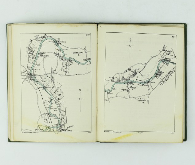
Showing the Towns, Bridges, Locks, Towpaths, Ferries etc, with Distances from Oxford
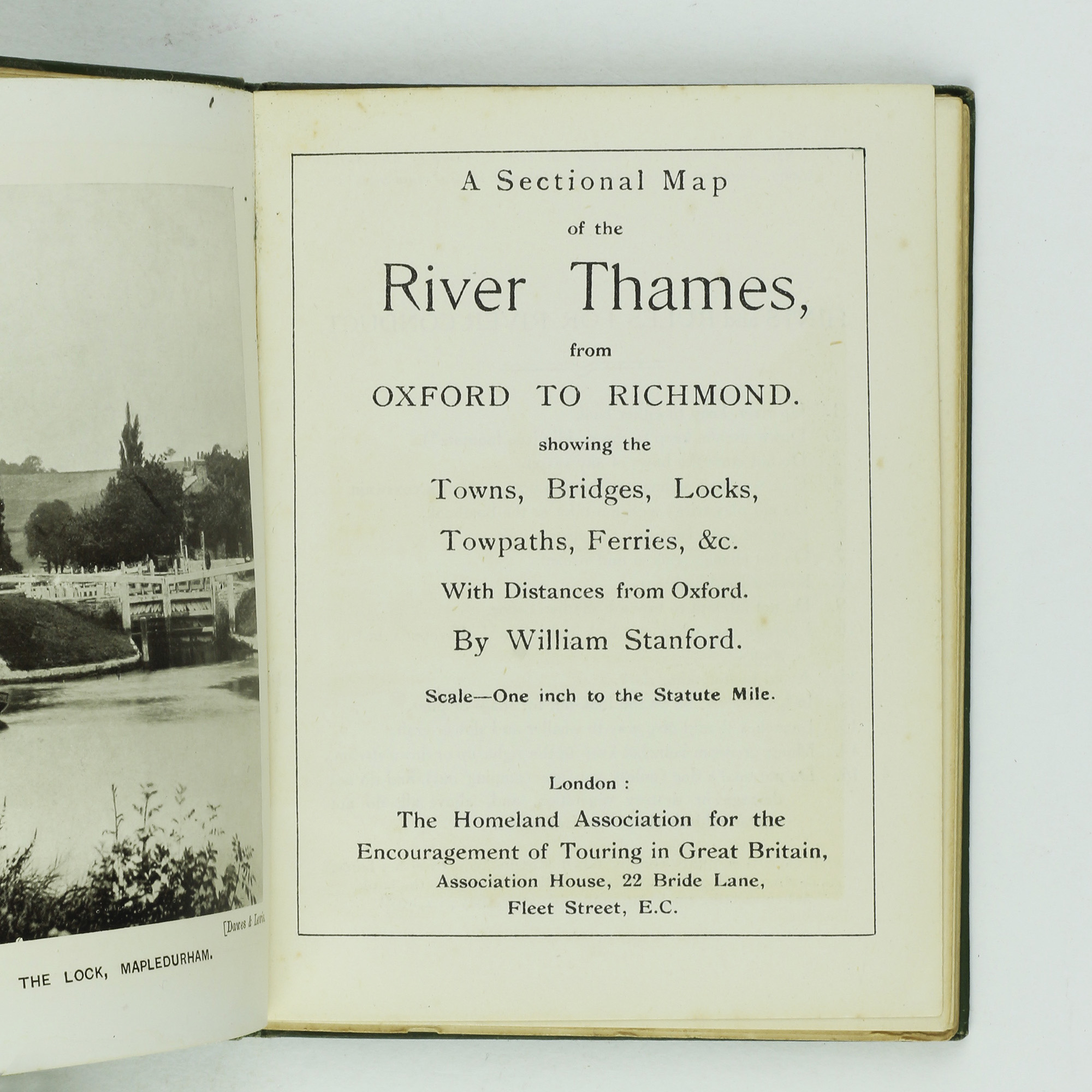

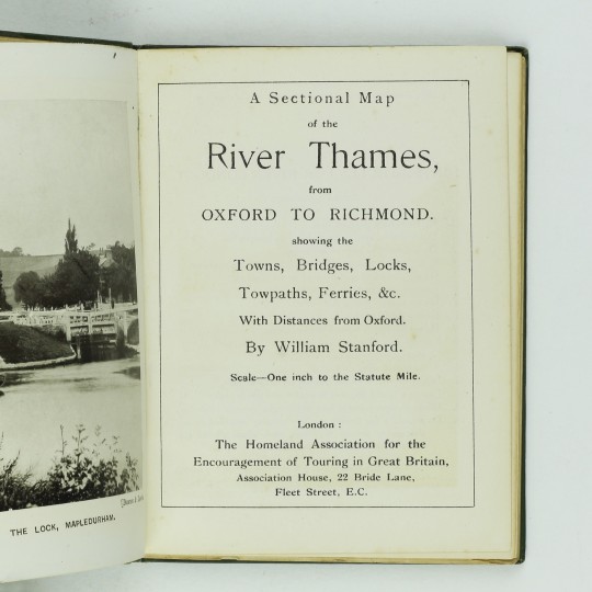
A Sectional Map of the River Thames From Oxford to Richmond Showing the Towns, Bridges, Locks, Towpaths, Ferries etc, with Distances from Oxford
The Homeland Association for the Encouragement of Touring in Great Britain, 1910.
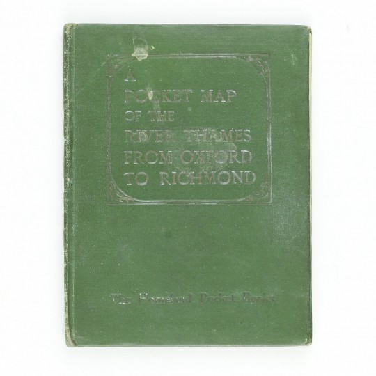
Homeland Pocket Book. 12mo. Green cloth, titles to the spine and upper cover. Black and white photographic frontis, twenty three sectional maps printed in black and blue. A very good copy, some rubbing to the edges and small stains to the covers.
Cohen p.208
Stock ID: 34293
Sold
We have sold this item, but similar items
may become available in the future