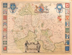
Complied and drawn by E.G. Ravenstein


The Oarsman's and Angler's Map of the River Thames Complied and drawn by E.G. Ravenstein
James Reynolds, 1870.
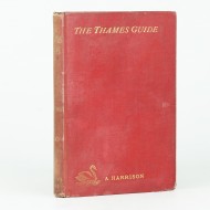
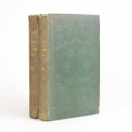
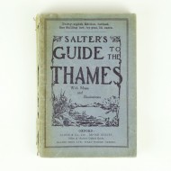
Second edition of this popular map. 12mo. Publisher's green boards with blind stamped decoration and gilt lettering on the upper cover. Folding linen backed map, extending to 103 inches. Printed in black and blue with notes on fishing, hotels, bridges and locks etc. A very good copy indeed with a little wear to the extremities.
A bibliographic curiosity, not recorded by Cohen, which in size and cover block matches the first edition of 1861, but shows the detail of the map prepared for the second edition, specifically the absence of the East Weir at Grafton which was removed in 1869. It may therefore, be a later issue of the first edition or a proof or trial issue of the second edition.
Ravenstein notes: "The town of Henley is finely situated: above and below the scenery is charming."
Cohen p.205
Stock ID: 34285
Sold
We have sold this item, but similar items
may become available in the future