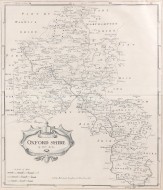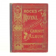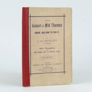
From its source to London Bridge


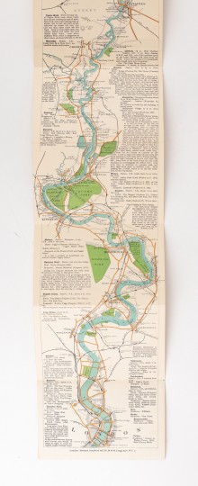
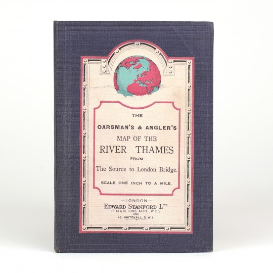
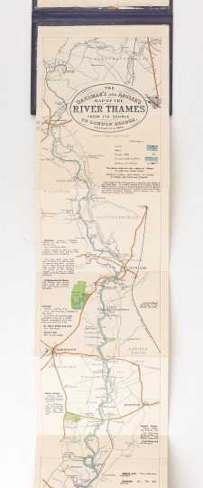
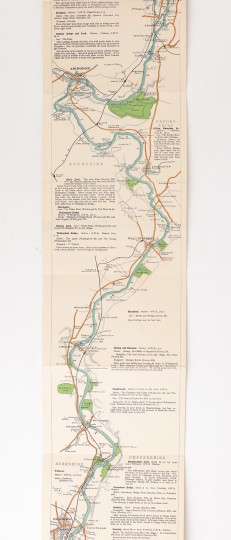
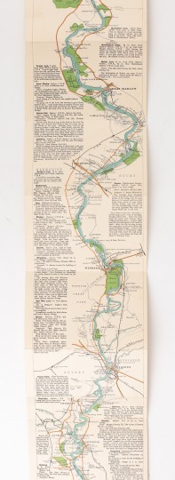
The Oarsman's and Angler's Map of the River Thames From its source to London Bridge
Edward Stanford, 1930.
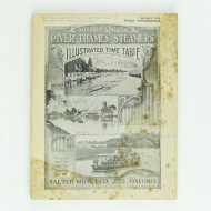
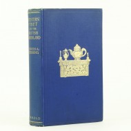
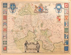
A new edition of this popular map, including advice of a course over which a punt should be shoved. Original blue cloth with a printed onlay to the upper cover. (2635 x 161mm.) Twenty two pages of text, plus a linen backed fold out panorama map. A very good copy, faint crease to the top corner.
Stock ID: 42969
Sold
We have sold this item, but similar items
may become available in the future