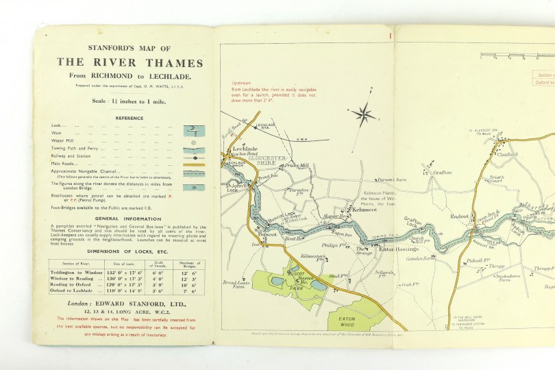
From Richmond to Lechlade
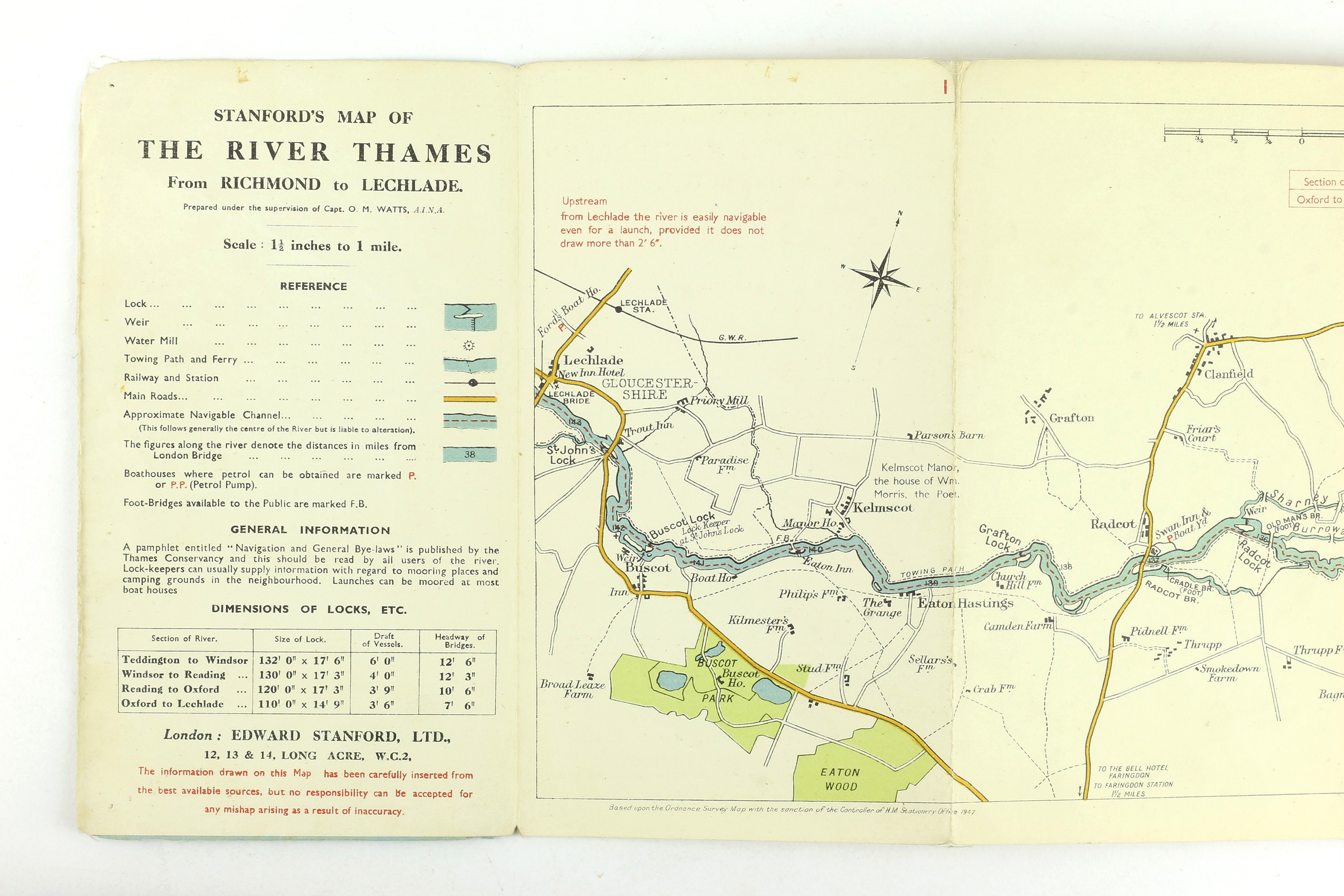
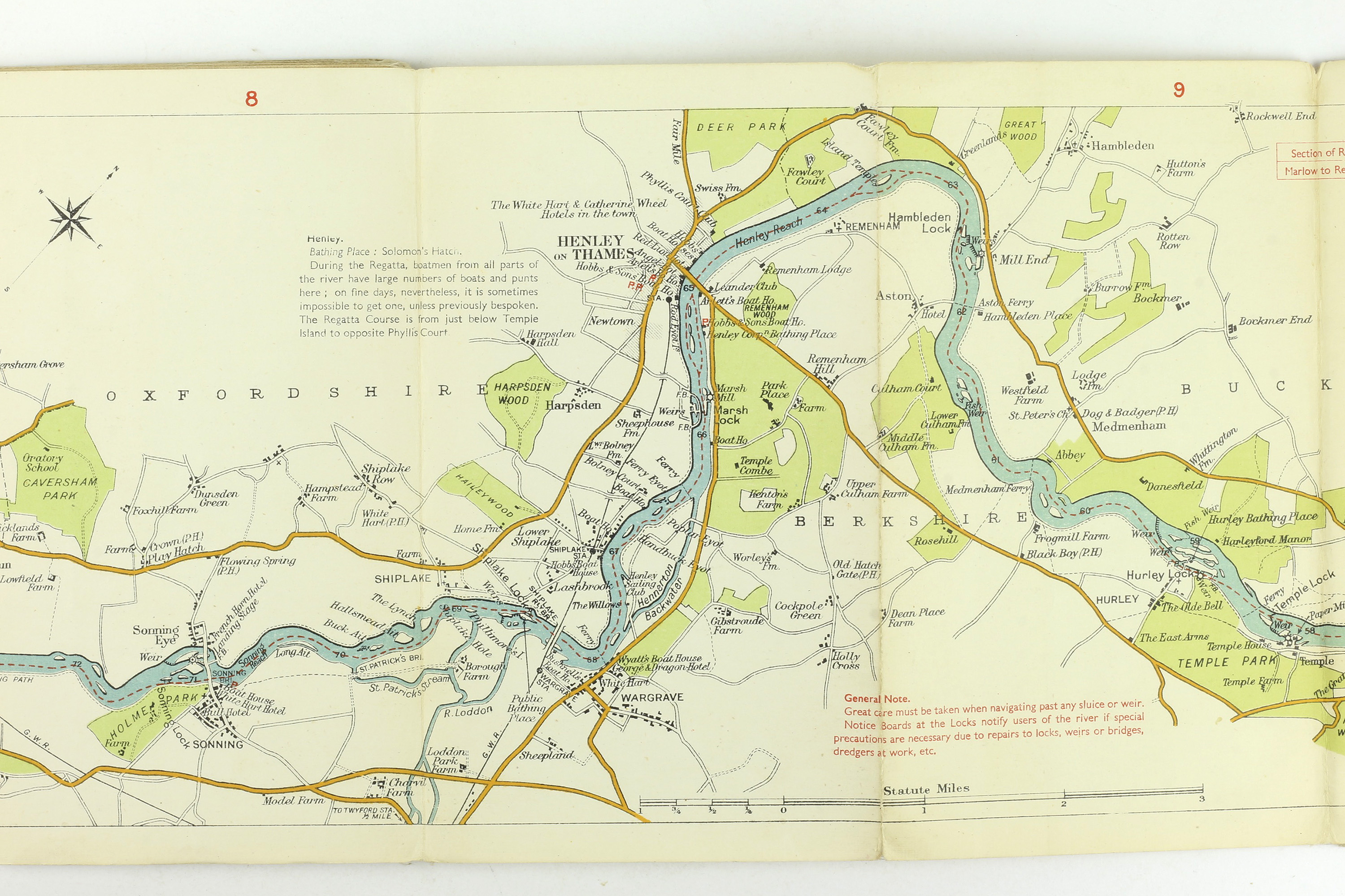
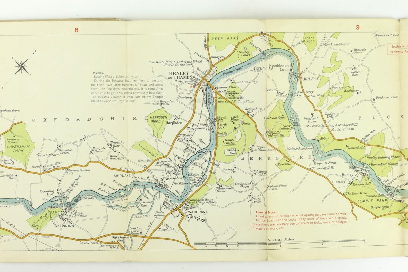
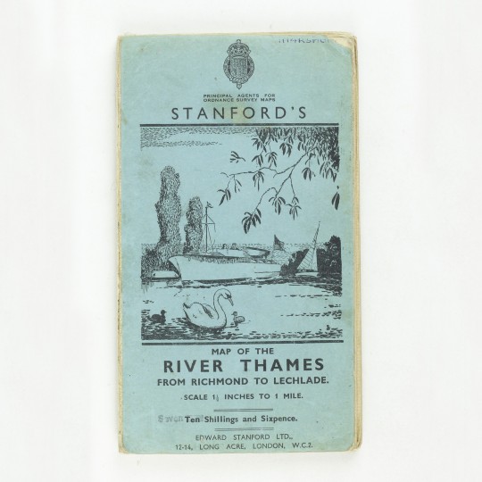
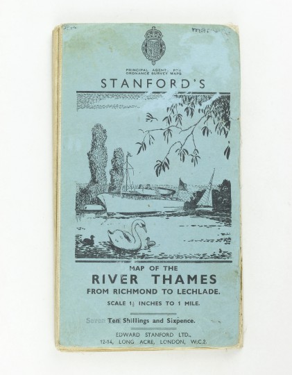
Map of the River Thames From Richmond to Lechlade
Stanford, 1920.
Linen backed map housed in blue printed wrappers. Approx. 20 x 320cm. Sectional map of the Thames, printed in colour. The map is in very good condition indeed. The covers are a little battered around the edges.
Stock ID: 38887
Sold
We have sold this item, but similar items
may become available in the future