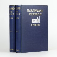

MAPS FROM SCOTT'S LAST EXPEDITION
Report on the Maps and Surveys
Harrison and Sons, 1923.
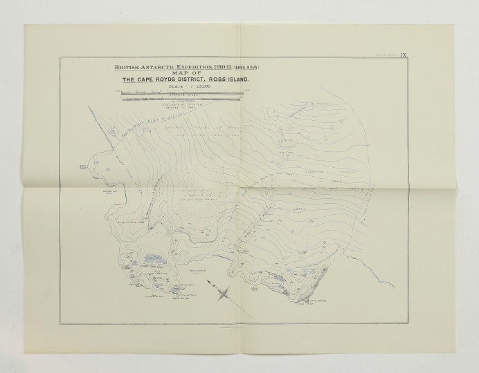
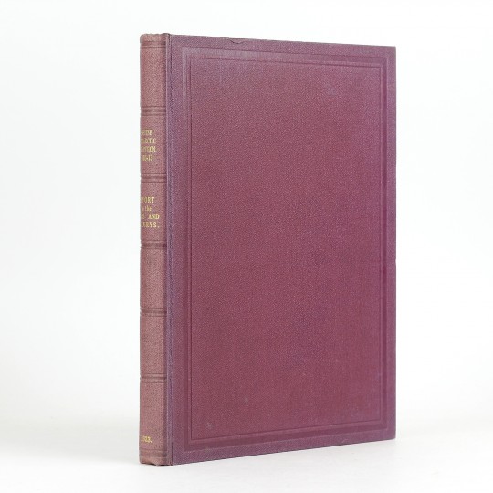
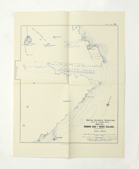
First edition. 4to. Original red cloth, lettered gilt. Subscription slip for the Meteorology report loosely inserted. Two plates, one photographic, the other a facsimile journal entry. Twenty-one figures in the text. Fifteen large folding maps to rear. A fine copy.
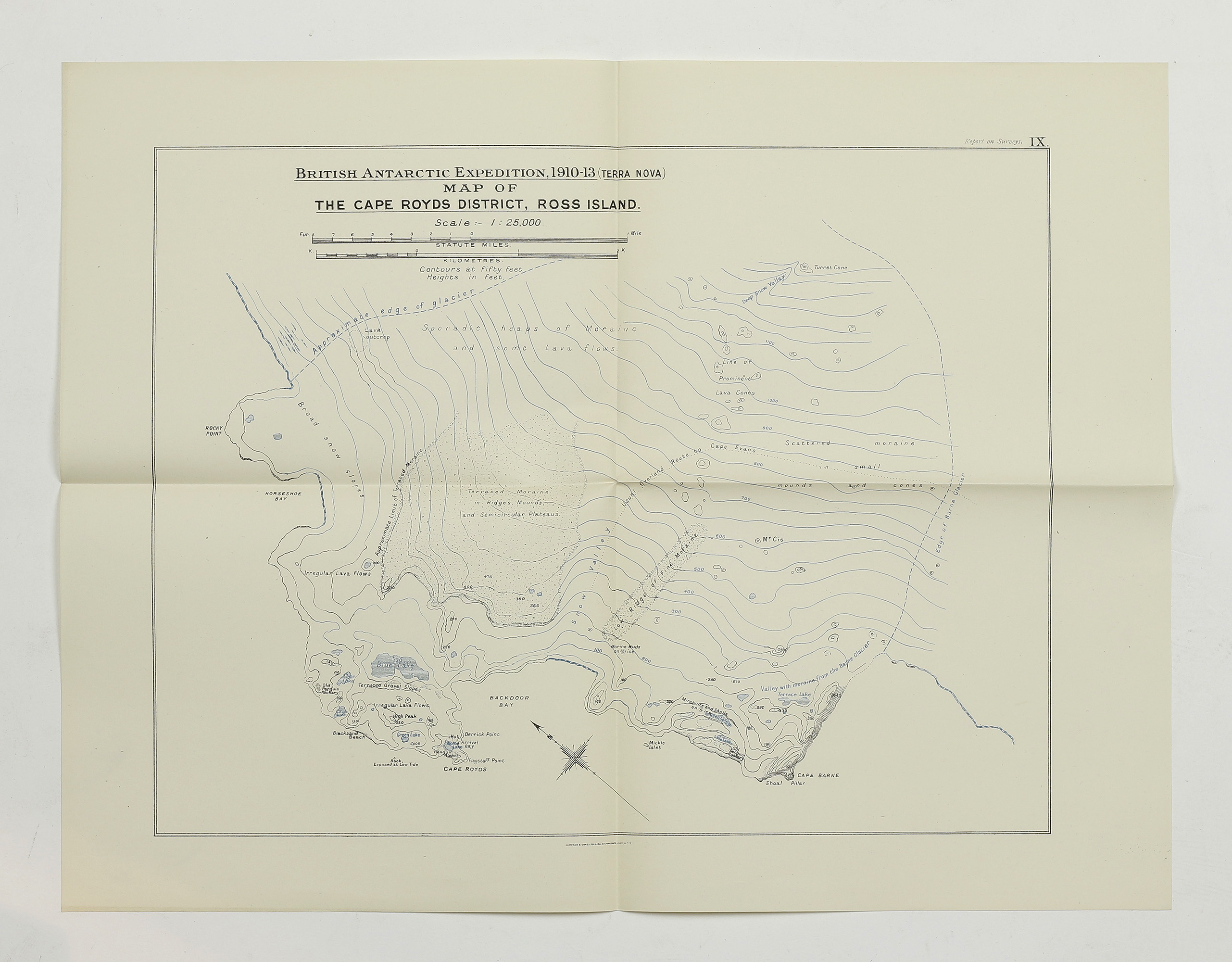
The cartographic record of Scott's Terra Nova expedition.
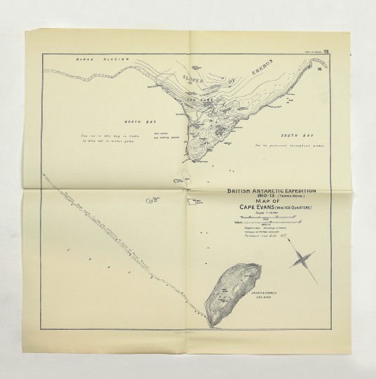
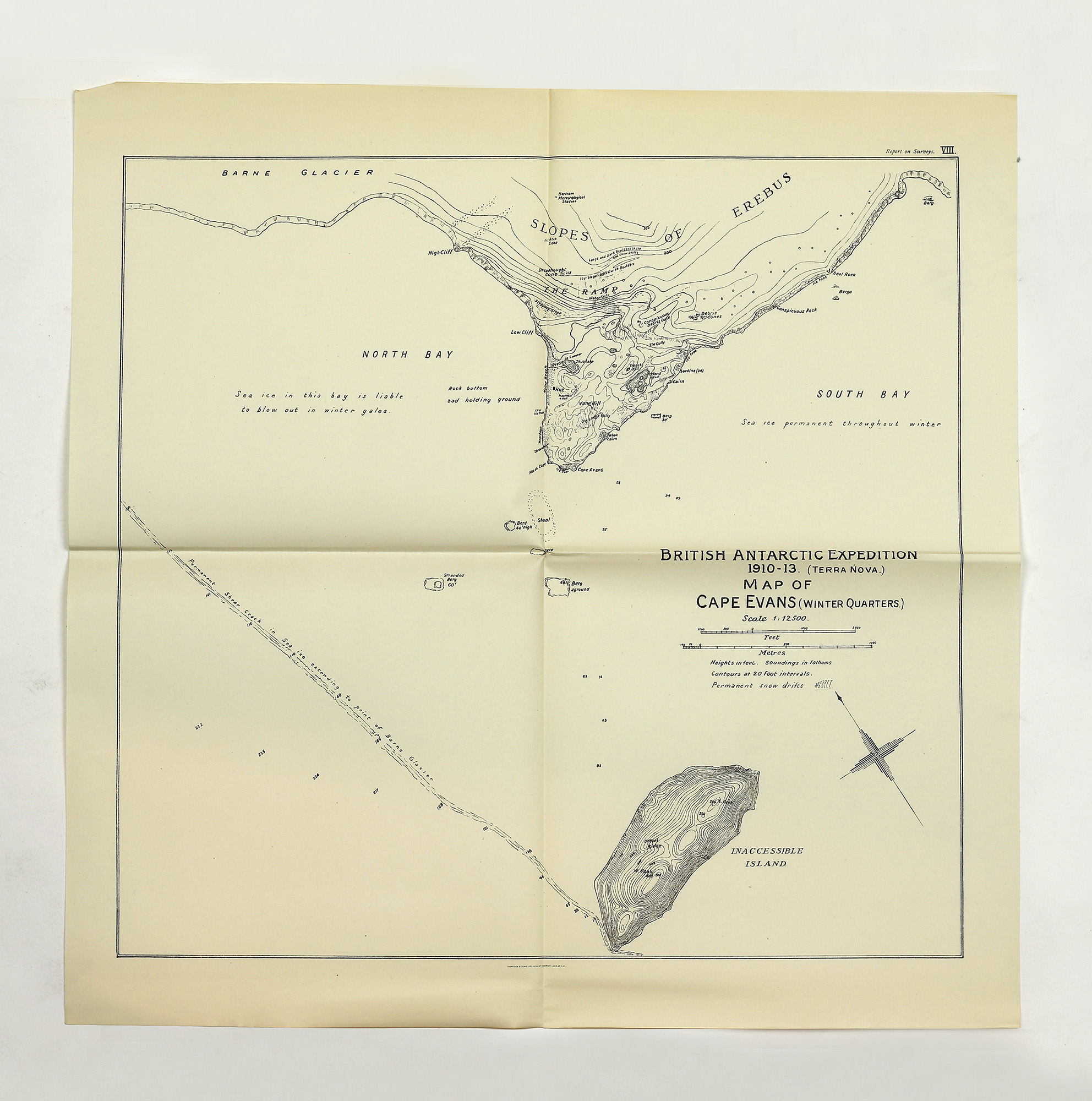
"Contains detailed descriptions of the instruments used in conducting the surveys, surveys in the vicinity of Cape Evans, an analysis of latitude measurements taken in the vicinity of the South Pole, surveys of the Balleny Islands, Possessian Islands, Frankling Island, Beaufort Island, the Great Ice Barrier front and King Edward VII Land, west coast of Ross Island, the coasts of McMurdo Sound and Victoria Land" (Rosove).
Rosove 293-10. A1.
Stock ID: 39322
Sold
We have sold this item, but similar items
may become available in the future