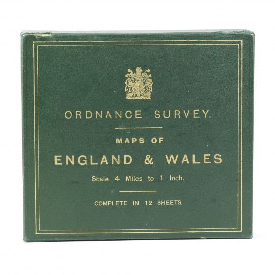
Scale 4 Miles to 1 Inch, Complete in 12 Sheets. Boxed set.
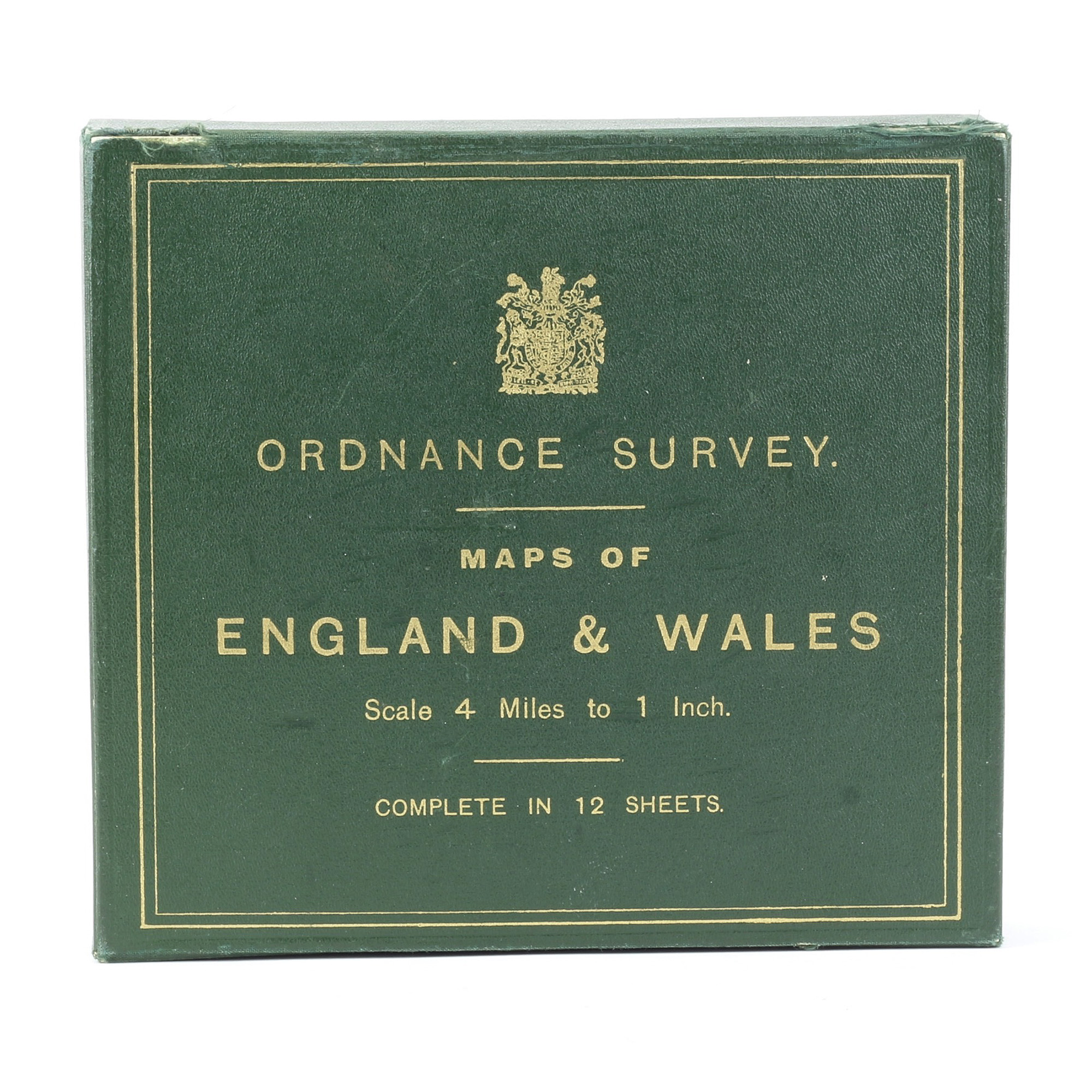
Maps of England & Wales Scale 4 Miles to 1 Inch, Complete in 12 Sheets. Boxed set.
Ordnance Survey Office, 1919.
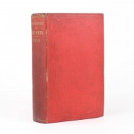
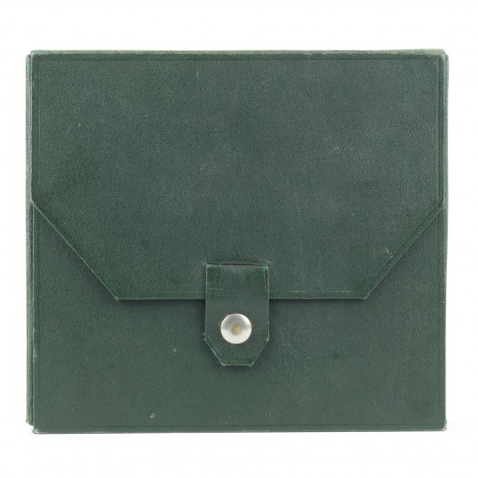
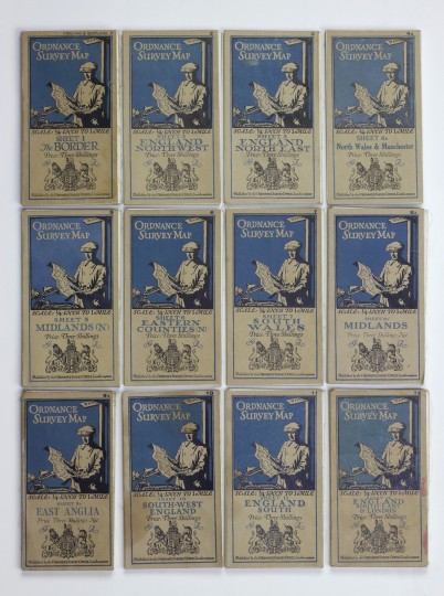
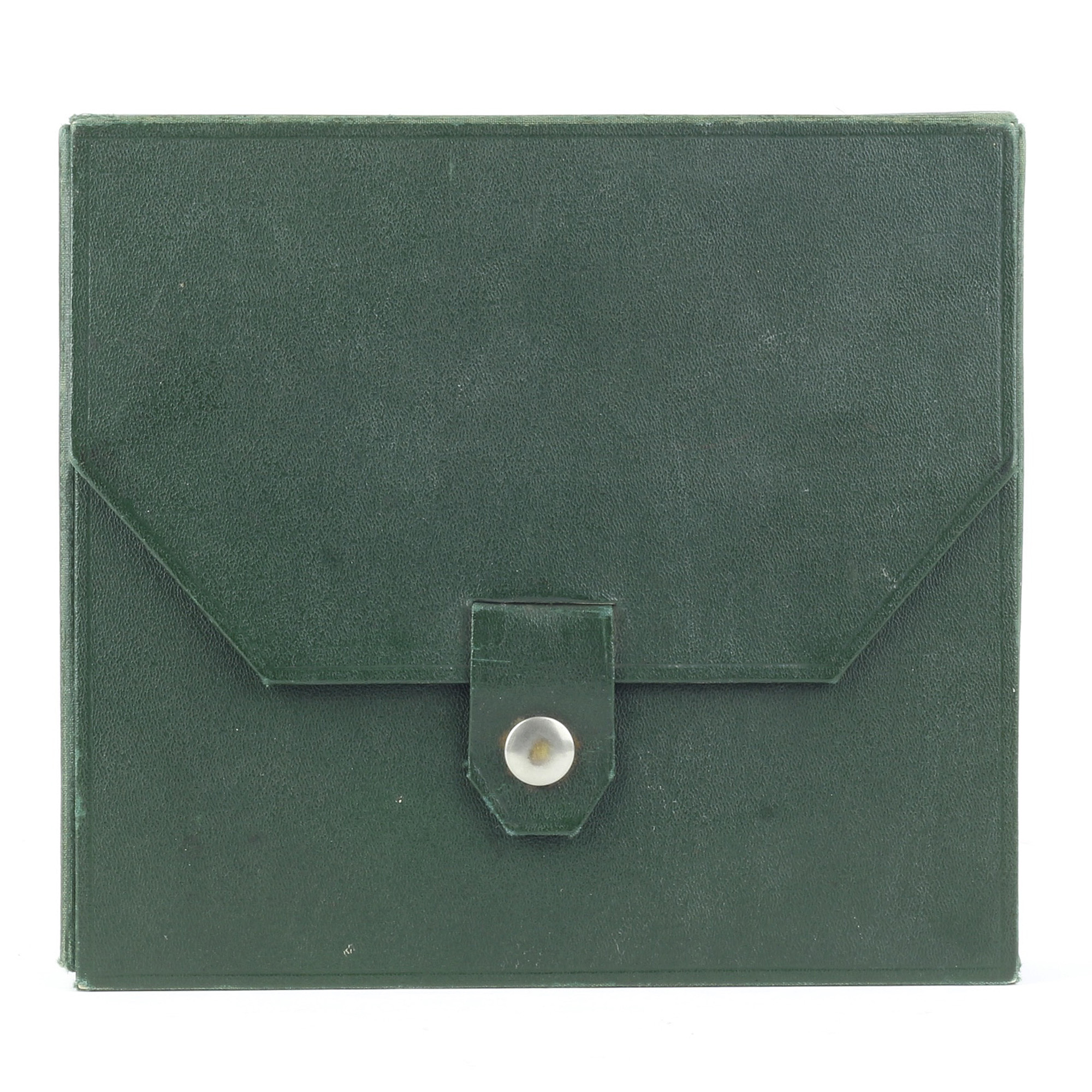
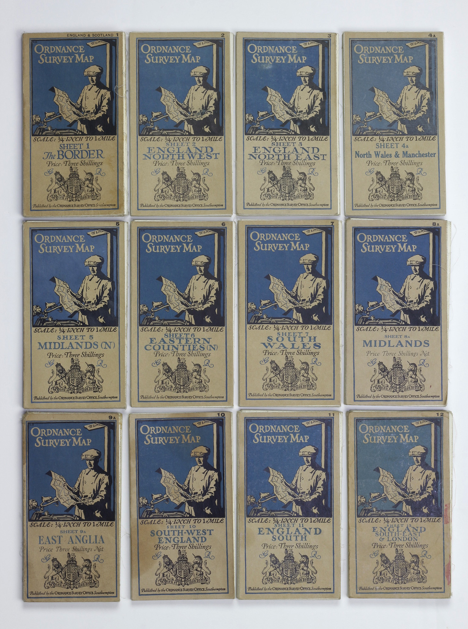
Third edition, "A" series. Publisher's original green box with buttoned flap, lettered in gilt on the top, with royal heraldic device also in gilt. Index sheet affixed to flap verso. Each map with buff and blue decorative covers, and each measuring, unfolded, 77.4 x 63cm. An attractive set - box clean, flap joint a little tender and with consequent fraying. All maps complete and generally clean and bright.
The third edition of the "quarter inch to one mile" maps had new sheets added, denoted by an "A" suffix, which included minor corrections and new railway lines.
Sheet 1: The Border - 1921, Minor amendments 1923-24, Reprint 7000/25.
Sheet 2: England North West - 1921
Sheet 3: England North East - 1921, Minor corrections 1924, Reprint 8000/24
Sheet 4A: North Wales & Manchester - 1927, Minor corrections 1923-7, Railways inserted to 1927, 5000/28
Sheet 5: Midlands (N) - 1920, Minor corrections 1926, Reprint 7000/27
Sheet 6: Eastern Counties (N) - 1921, Minor corrections 1925, Reprint 5000/25
Sheet 7: South Wales - 1920
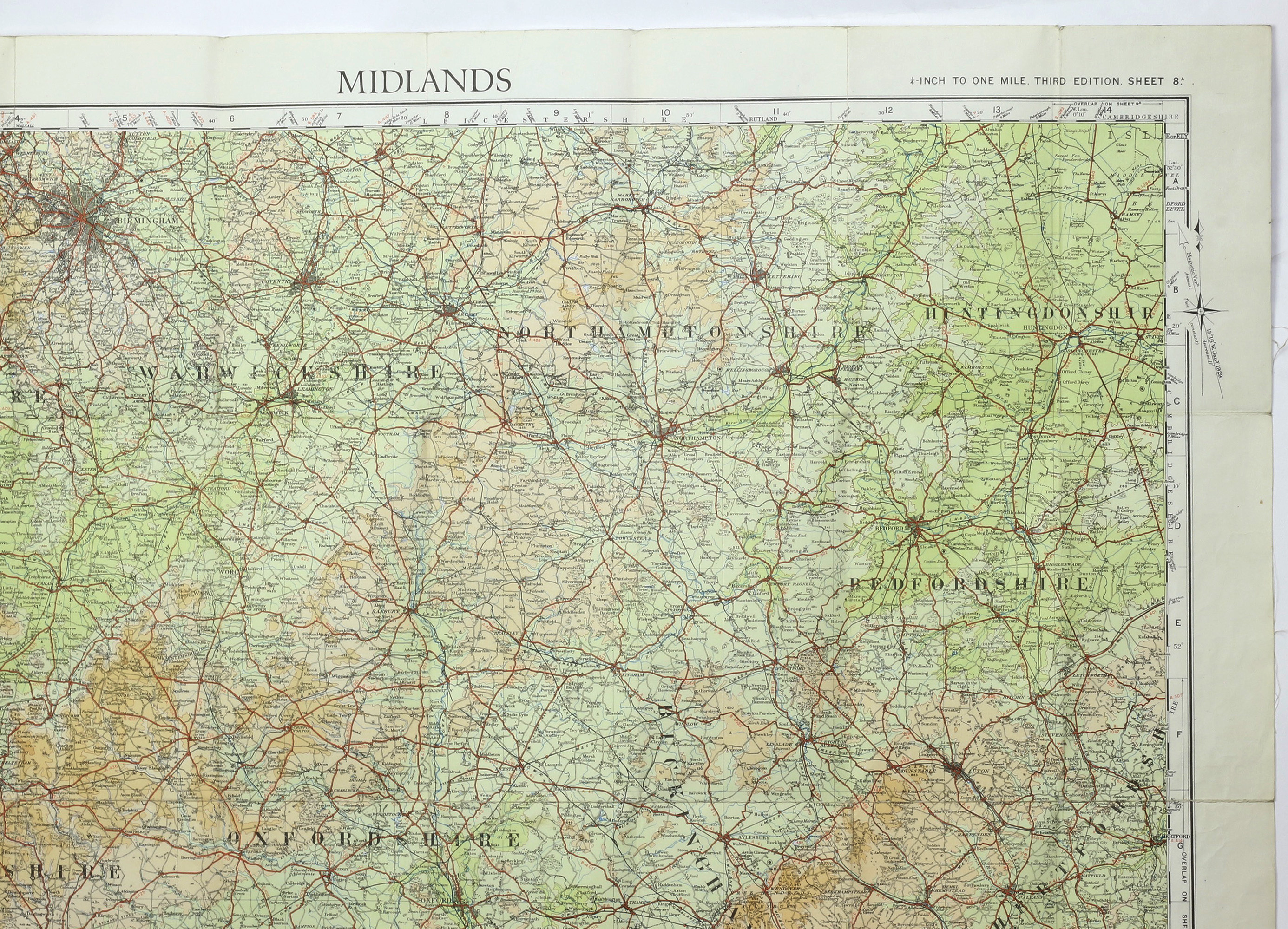
Sheet 8A: Midlands - 1929, Minor correction 1929, Roads revised 1925-8, 8000/29
Sheet 9A: East Anglia - 1930, Minor corrections 1929, Roads revised 1925-8, 7500/30 (map with some staining at the folds)
Sheet 10: South-West England - 1920, Minor correction 1929, Roads revised to September 1926, Railways inserted to 1929, 5000/29
Sheet 11: England South - 1919, Minor corrections 1927, Railways inserted to 1925, Roads revised to September 1926, Reprint 5000/28
Sheet 12: England South-East & London - 1920, Railways inserted to 1927, Minor corrections 1925-8, 1000/29
Stock ID: 37064
Sold
We have sold this item, but similar items
may become available in the future