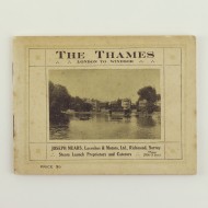
From Oxford to London, With Correct Tables of Distances from Survey Measurements, and a Concise Guide, Containing Information for Tourists, Oarsmen, etc.
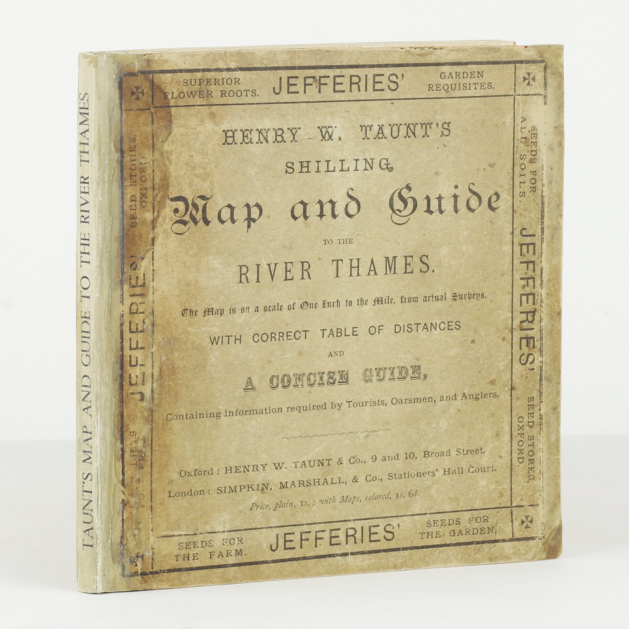
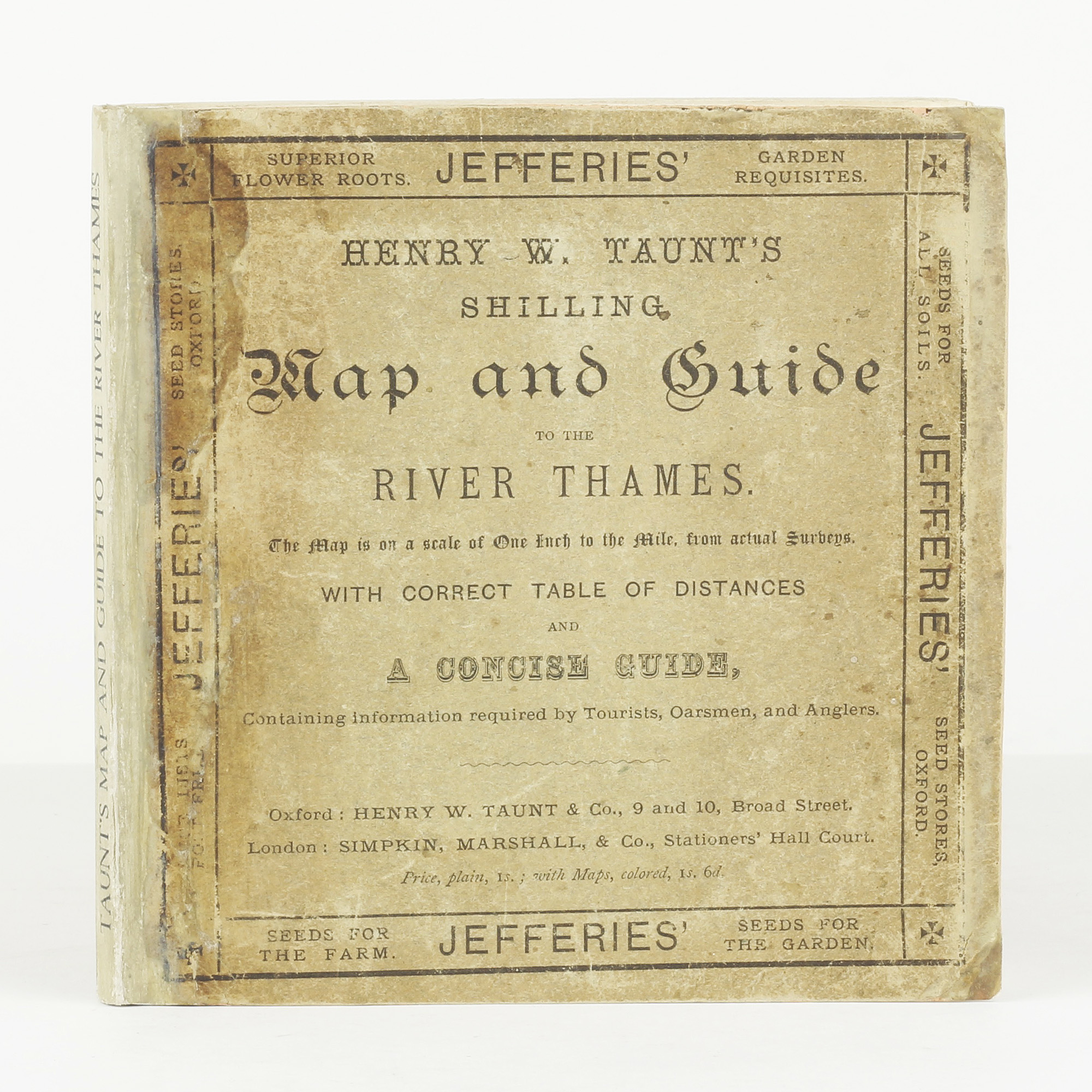
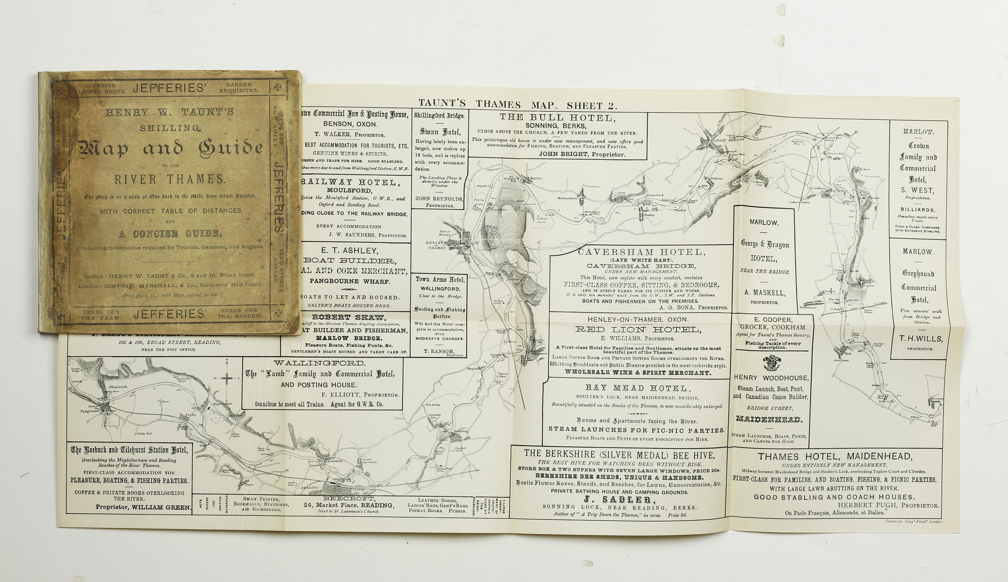
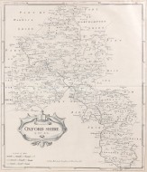
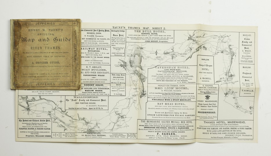
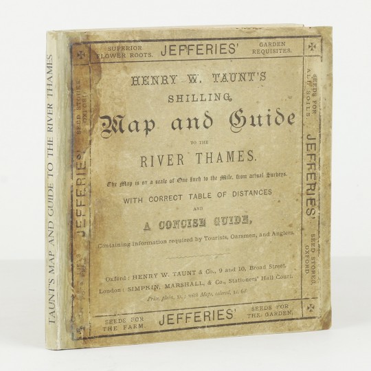
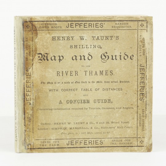
Taunt's Shilling Map and Guide to the River Thames From Oxford to London, With Correct Tables of Distances from Survey Measurements, and a Concise Guide, Containing Information for Tourists, Oarsmen, etc.
Henry W. Taunt & Co., 1881.
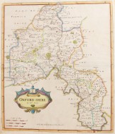
Square 12mo. Original card wrappers printed in black. Four fold out maps. A very good copy of a scarce item, with spine renewed.
Cohen p.211
Stock ID: 34919
Sold
We have sold this item, but similar items
may become available in the future